Here's how to make Google maps work for you
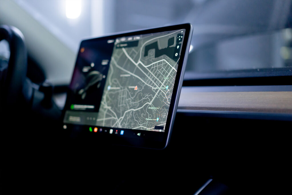
Google Maps is often seen as an unpredictable factor during roadworks. While there's a carefully planned traffic management system in place, traffic sometimes seems to behave differently. Navigation apps unexpectedly send drivers through residential areas, congestion shifts, and residents experience disruption.
However, Google Maps doesn't have to be a disruptive factor. In fact, when you understand how navigation platforms work, they can actually be a powerful tool within traffic management. The question therefore isn't whether navigation providers influence traffic flows, but rather how you can use that influence to your advantage.
Digital navigation is increasingly determining the route
More and more road users are relying entirely on navigation apps. As soon as there is a delay anywhere, an app automatically calculates an alternative route. The software's aim is simple: to find the fastest route for the individual user.
However, this can have undesirable effects for a project environment. When a main road temporarily has reduced capacity, a navigation app can direct traffic via smaller roads or residential areas. Roads that are not designed for this suddenly have to deal with increased traffic volume.
If this is not included in the traffic plan, a second traffic strategy will effectively be created. One that is not determined by the road manager, but by algorithms.
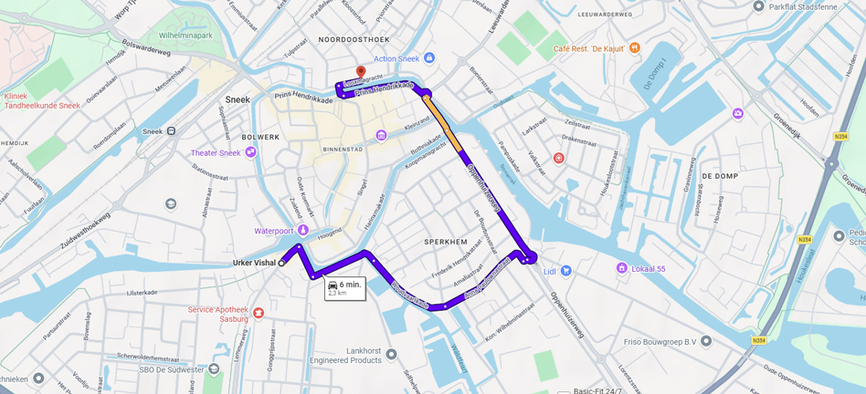
What can you concretely adjust in navigation systems?
Influencing digital navigation does not just mean closing roads. There are various adjustments possible that help to better manage traffic flows. Below are some examples:
Road closure or blocking
One of the most obvious interventions is the digital closure of roads. When a road is unavailable due to works, this can also be incorporated into navigation systems.
Benefit for the road authority:
Navigation apps direct traffic via the desired diversion route. This prevents drivers from attempting to drive through a closed-off area and having to turn back. Furthermore, traffic is diverted early by navigation systems, unlike diversion routes announced at the last minute. This allows drivers to take a different route from the starting point, ensuring a more even distribution of traffic. For example, this also reduces the burden on diversion routes.
Difference compared to Melvin:
When a road closure is implemented in Melvin, it doesn't automatically mean Google Maps will strictly adopt it. Melvin does share the information with navigation services, but Google also uses other data sources such as its own map data, user reports, and real-time traffic information from phones. For example, if Google sees a lot of traffic still driving on a closed road, the system may conclude that the road is accessible after all and partially ignore the closure in its route calculations. This can result in traffic being directed via Google Maps onto a road that is indicated as closed by Melvin.
Drawing in new roads or roundabouts
In new situations, such as a new roundabout, a temporary bypass, or altered road layout, the digital map can be updated so that the new situation is visible.
Benefit for the road authority:
Navigation apps recognise the new infrastructure and automatically direct traffic according to the current situation. This prevents confusion and ensures that traffic flows better match the layout of the project area.
Set destination street
Some streets are intended for destination traffic only, for example in residential areas or around schools. By marking these streets as destination-only streets in navigation systems, they become less attractive for through traffic.
Benefit for the road authority:
Through traffic remains on main roads, while local traffic still has access to the street. This helps to reduce through traffic and nuisance. Implementing destination streets is not sacrosanct; it's important to carefully consider where it is appropriate and where it isn't. It's not a means to force systems towards a diversion, but rather to ensure safety where needed.
Add sidebar times
In certain situations, traffic may only be allowed to drive through a street at specific times, for example, due to a school zone, construction site or temporary traffic management. By also digitally entering time windows into navigation systems, routes will only be advised within the permitted times.
Benefit for the road authority:
Traffic flows can be better coordinated with the surrounding situation, for example, by restricting traffic during peak times. For instance, in shopping streets, you could allow destination traffic during delivery times, where the street is not available as a route option for navigation providers outside of those times.
Move pins
Navigation apps often direct traffic to a specific point on the map, such as a business location or a project area. If this point is wrong, traffic can be directed via undesirable routes. By adjusting pinpoints, traffic can be directed to the correct access of a location.
Benefit for the road authority:
Traffic reaches the project area via the correct route and does not unnecessarily enter residential streets or unwanted areas.
Navigation as part of traffic management
When digital adjustments are incorporated into the traffic plan, an integrated approach emerges. Live navigation then aligns with physical signage, traffic measures, and communication towards residents.
By continuously monitoring traffic flows, it is also possible to quickly see when traffic is developing differently than expected. This makes it possible to make timely adjustments.
Digital traffic control is therefore not a pipe dream, but a necessary addition to modern traffic management. Those who understand how navigation platforms work and actively incorporate them into the traffic plan will maintain control over traffic flows even during complex projects.
The effect of navigation influence
During the construction of a new roundabout on the N305 near Dronten, we implemented navigation adjustments for the province. The N305 is an important route with a lot of through traffic from the surrounding area, leading to significant concerns that much of this traffic would head towards the construction zone, causing congestion. Our task, therefore, was to focus on the through traffic and ensure they were rerouted via their live navigation system at an early stage.
Using NDW data, we were able to accurately track the effect of the closure. We used 4 measurement points where traffic with Dronten as its destination could still pass. During the works, we saw an average decrease of 60% in (through) traffic, with outliers up to 90% decrease.